
What Is Geo OSINT?
Geo OSINT, short for Geospatial Open-Source Intelligence, is a powerful method used to gather and analyze publicly available geographic data. It involves collecting information from social media posts, satellite images, public maps, and geotagged photos to locate people, track movements, and uncover key details in digital investigations.
While “intelligence gathering” may sound like it belongs solely in spy movies, Geo OSINT is used in many real-world applications—from law enforcement and journalism to cybersecurity and even humanitarian aid. When combined with digital footprint analysis, it becomes a tool that can trace a person’s or group’s location, patterns, and behavior through the digital breadcrumbs they leave behind.
The Power of Location Data
Every time someone posts a picture, shares a tweet, or checks in online, they may unknowingly share geolocation data. This data can be embedded in the media itself or revealed through metadata and timestamps. Geo OSINT experts are trained to find and interpret this information to create a digital map of activities.
For example, a seemingly innocent vacation photo on social media may contain EXIF data—details embedded in images such as GPS coordinates, time taken, and device used. By cross-referencing such data with public satellite imagery or street views, investigators can pinpoint the exact location and time the photo was taken.
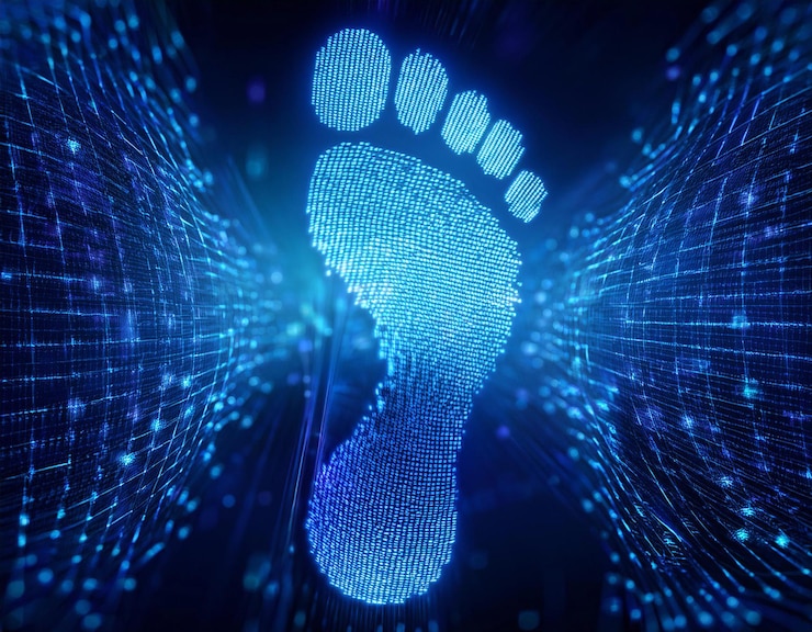
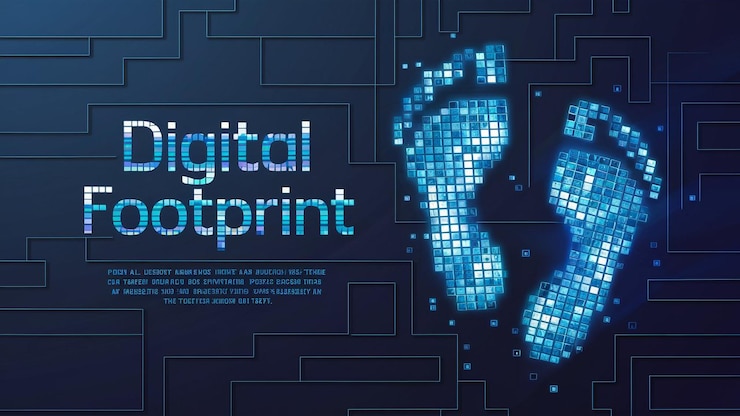
Digital Footprint Analysis: Connecting the Dots
Digital footprint analysis plays a major role in amplifying the capabilities of Geo OSINT. Everyone who uses the internet leaves behind a trail: IP addresses, social media activity, forum posts, uploaded files, and more. Analyzing this footprint helps reveal patterns, behaviors, and associations that are often invisible on the surface.
For instance, if a user frequently posts at specific times and from certain locations, a pattern emerges. Investigators can use this to estimate routines, living areas, or even predict future behavior. When combined with geo-tagged data, it becomes easier to track movements or tie online aliases to real-world identities.
This is particularly useful in cases of online threats, cybercrime, and missing persons investigations. Geo OSINT and digital footprint analysis often form the backbone of intelligence operations without requiring access to private or hacked data. It’s all about what’s already publicly available—if you know where to look.
Real-World Applications of Geo OSINT
- Crime and Counterterrorism Investigations: Authorities use Geo OSINT to verify claims, identify suspects, or locate events. For example, during public disturbances or protests, social media videos and posts are used to reconstruct timelines and identify participants.
- Journalistic Verification: Investigative journalists rely on Geo OSINT to validate sources, analyze conflict zones, or trace misinformation. By matching landmarks in photos with satellite imagery, they can confirm where and when an event occurred.
- Humanitarian and Disaster Response: During natural disasters or conflicts, Geo OSINT helps locate affected areas, assess damage, and plan relief efforts based on real-time public data and images.
- Corporate Security: Businesses monitor digital footprints and geo-data to detect fraud, protect assets, or ensure compliance in remote operations.
Tools and Techniques (Without Naming Names)
Geo OSINT relies on publicly accessible tools and methods. Some common techniques include:
- Reverse image search to trace the origin of a photo
- Examining satellite imagery for updates or changes
- Analyzing metadata embedded in images or files
- Cross-referencing timestamps, weather patterns, and shadows to estimate time and location
- Using map overlays and geotagging information to visualize movement patterns
The beauty of Geo OSINT is that much of the data already exists—it just takes patience and analytical skill to extract insights.
Ethical and Legal Considerations
Despite its power, Geo OSINT must be used responsibly. Since it deals with publicly available data, it’s often seen as legal. However, misuse or invasion of privacy can lead to ethical concerns. Investigators must balance curiosity with respect for boundaries and adhere to ethical guidelines when collecting and interpreting data.
It’s important to remember that while Geo OSINT can reveal a lot, it doesn’t always tell the full story. Human judgment, context, and caution are essential in interpreting findings accurately.
Conclusion: A New Era of Cyber Intelligence
Geo OSINT is no longer just a niche technique—it’s a vital part of modern investigations. Whether it’s solving crimes, verifying facts, or responding to emergencies, this method is changing how we view online data and its real-world implications.
By combining location-based intelligence with digital footprint analysis, investigators gain a clearer, more accurate picture of people and events. It’s not magic—just smart analysis of the digital clues we leave behind every day.
As awareness grows, so does the need for responsible use, better training, and more transparency. Geo OSINT is here to stay, and it’s redefining how we uncover the truth in a hyperconnected world.